




THUNDER BAY – As of the evening on July 11, Ontario’s Northwest Fire Region has reported 81 active wildland fires, with 11 new incidents confirmed across the area.
Aviation, Forest Fire and Emergency Services indicates that 14 of these fires are not under control, five are being held, five are under control, and 57 are currently being monitored.
New Wildfires Confirmed on July 11
The recent fires include multiple starts in the Nipigon and Sioux Lookout sectors, as well as new fires in Dryden and Fort Frances.
Nipigon 31 is situated about five kilometres north of Symons Lake and 11 kilometres west of the Attawapiskat River. This two-hectare fire is being monitored.
Nipigon 32 and Nipigon 33 are located west of Peninsular Lake, roughly 29 kilometres south of Eabametoong First Nation. Nipigon 32 spans three hectares and is currently not under control. In contrast, Nipigon 33 is under control at just 0.1 hectares.
Sioux Lookout 69 is found about nine kilometres north of Slate Falls Nation near Kezik Lake’s southeast side. This fire covers an area of 0.2 hectares and remains out of control.
Sioux Lookout 70 is around five kilometres southwest of Upturnedroot Lake and six kilometres east of Morris Lake. This two-hectare fire also remains uncontrolled.
Sioux Lookout 71 can be found approximately 26 kilometres southwest of Cat Lake First Nation, northeast of Shearstone Lake. The fire here has reached an area of thirty hectares and is not contained.
Sioux Lookout 72 lies about six point three kilometres east of Wigwasikak Lake near Long Lake. This three-hectare fire remains uncontrolled.
Sioux Lookout 73 is positioned roughly four kilometres northwest of Wigwasikak Lake and six kilometres north from Tinker Lake. The seven-hectare fire there continues to be out of control.
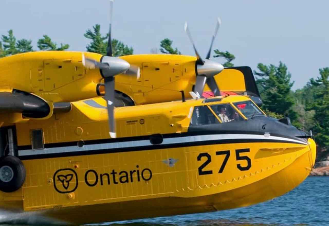
Dryden 28 is located between Balmoral Lake and Nora Lake to the west of Berglund Road. This twenty-hectare fire has not been contained yet; aerial suppression using CL-415 waterbombers continued through the evening hours.
Dryden 29 sits about one kilometre north off Highway 17, southeast from Iron Lake. The current size for this unchecked fire is at point one hectares.
Fort Frances 33 can be found approximately six point three kilometers south off Highway eleven near Batchewaung Lake; it spans a total area of point two hectares but remains uncontrolled.
Status Update on Fort Frances Fire Near Byers Lake
The Fort Frances fourteen wildfire continues to be noteworthy; it’s located around thirty-five kilometers southwest from Upsala by Byers Lake.
This incident measures at one thousand five hundred seventy hectares without containment status as yet.
A total of thirteen Fire Ranger crews, ten Type two firefighting crews along with twelve helicopters have been assigned to tackle suppression operations. Officials observed some increased activity within interior areas around this blaze.
The teams remain focused on establishing hose lines along its perimeter while bucketing helicopters target hotspots directly.
A NOTAM has now been put into effect over the affected fire zone.
Status Update for Fort Frances Fire in Quetico Provincial Park
The Fort Frances fifteen wildfire resides in Quetico Provincial Park to the south side near Pickerel lake territory.
Currently listed at one thousand seven hundred fifty-one point nine hectares without any containment measures so far
.
This weekend officials noted rising activity patterns due to continuing hot dry weather.
Quetico Provincial Park has announced closures for sections within it; visitors should verify official park details prior heading into those areas during this time frame.
Visibility Issues Due To Smoke Across Northwestern Ontario
Smoke arising from both Canadian & American wildfires can now be seen throughout parts across Northwest Region.
Residents suffering respiratory issues such as seniors children or outdoor workers oughta monitor local air quality alerts carefully , limiting strenuous outdoor activities whenever heavy smoke appears.
Airspace Restrictions Implemented via NOTAMs
A NOTAM currently exists concerning Fort Frances fourteen situated northeast close-by Byers lake ; another separate notice stays active for Nipigon sixteen nearby Kasabonika lake first nation.
These advisories supplement regular airspace limitations established pursuant Section Six Hundred One Point Fifteen Of Canadian Aviation Regulations. Airspace encompassing all ongoing forest fires restricts usage solely towards firefighting aircraft operating exclusively within a five nautical mile radius up until altitude reaching three thousand feet above ground level.
Pilots must check Nav Canada ‘s Collaborative Flight Planning Services accessing “Weather And NOTAM” tab whilst organizing their flights accordingly.
Regional Effects Impacting Thunder Bay And Northwestern Ontario h3 >
According July Eleventh updates showcase ongoing wildfire pressure throughout region showing active blazes occurring adjacent First Nations provincial parks highways remote lakes recreational zones etc.
For residents living in Thunder Bay , Dryden , Fort frances Sioux lookout nipigon alongside northern communities wildfire presence could affect air quality emergency planning aviation tourism forestry operations highway travel movements concerning crew members equipment alike
Growth seen regarding blazes present quetico provincial park vicinity Byers lake proves significant particularly affecting outfitters campers paddlers tourism operators alike especially during summer months!Current Outdoor Burning Regulations Are Enforced
Ontario maintains a legislated burning season commencing April first concluding October thirty-first annually !
–>
P Aviation Forest Fire Emergency Services reminds public that guidelines surrounding outdoor burning apply consistently across entire province’s designated regions encouraging composting yard waste utilizing local landfills rather than incinerating woody debris instead ! Where open flames permitted though they need start no sooner than two hours before sunset extinguished completely no later than two hours post sunrise individuals igniting them ensure adequate tools water available controlling flames promptly! Individuals residing within municipal borders must confirm restrictions permits imposed respective local authorities before initiating any kind open flame activity whatsoever!
If you spot a wildland fire how should you report it?
If you’re looking to report wildland fires occurring north French Mattawa rivers please call310-FIRE(3473).
If spotting incidents happening South French Mattawa rivers then simply dial911!
Source link