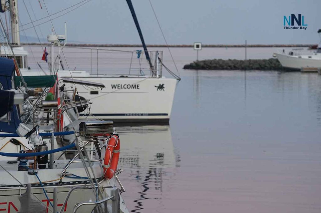
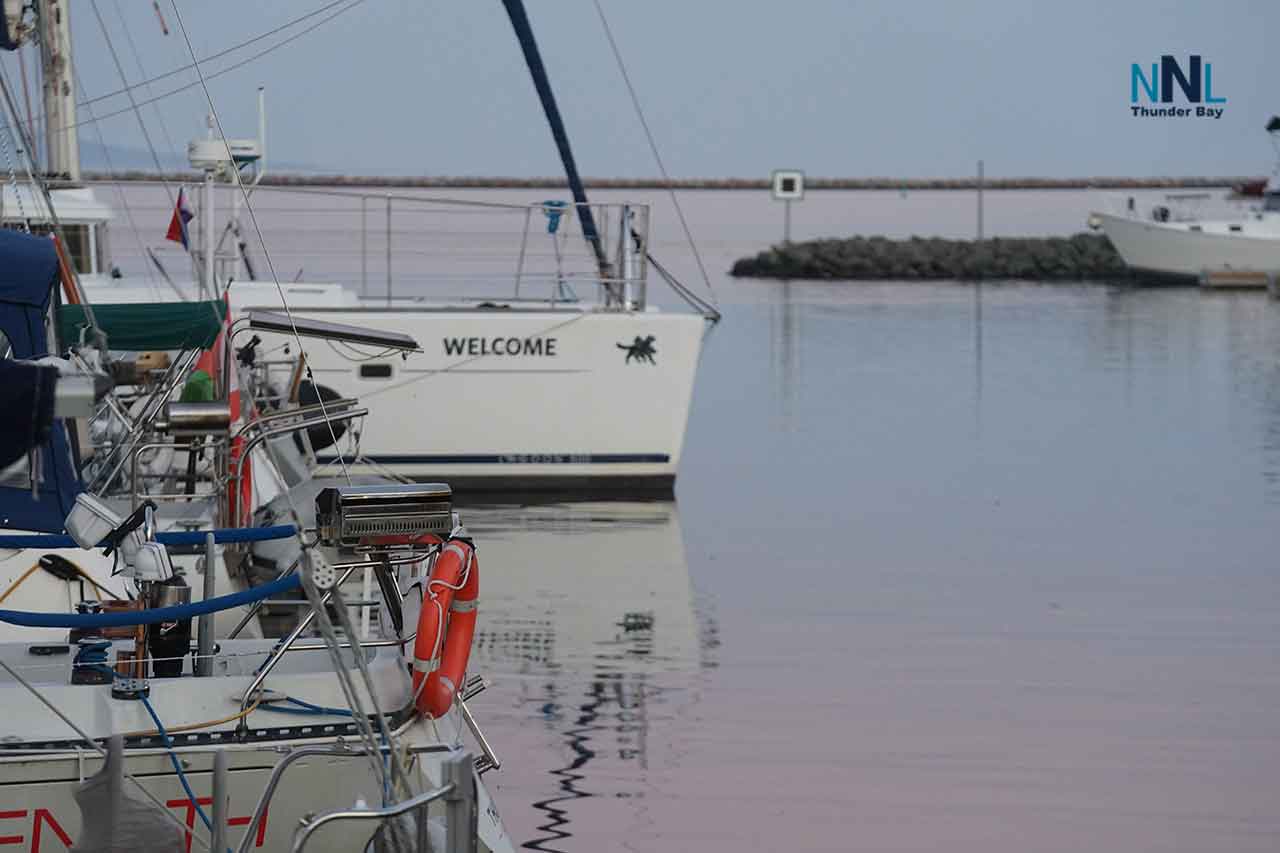
[ad_1]Welcome at Prince Arthurs LandingTHUNDER BAY - Monday, October 5, 2026 - Thunder Bay is set for a mild three-day period with a mix of sun and clouds today, a warmer Tuesday ahead, and some showers expected on Wednesday. The main concern lies over Western Lake Superior where Environment and Climate Change Canada has issued a strong wind warning. As of this report, there was no active weather alert for Thunder Bay itself. The latest observation from Thunder Bay Airport recorded a temperature of 5 C with west winds at 9 km/h and visibility reaching 24 kilometres at 1:00 a. m. EDT.Three-day Thunder Bay forecastDate Forecast Temperature Travel outlook Monday, October 5 A mix of sun and cloud. UV index is moderate at 3. High of 14 C. Clear tonight but becoming partly cloudy after midnight. Low around 2 C. Generally good travel conditions on land; however, be cautious of cool morning temperatures and wet roads due to overnight showers. Tuesday, October 6 Cloud cover will clear throughout the day. There’s a 30 percent chance of showers Tuesday night. High reaching 19 C. Low near 7 C. Good conditions for daytime travel; however, evening marine travel may be affected by showers and stronger winds on the lake. Wednesday, October 7 Expect a mix of sun and clouds along with a 40 percent chance of showers. Cloudy periods overnight with another chance for showers at about 30 percent. High around 16 C. Low down to about 4 C. Plan for extra time due to wet roads and lower visibility during any showers.The Thunder Bay forecast was issued by Environment Canada at 6:33 p. m. EDT Sunday. Keep in mind that forecasts may change as new weather systems develop.Air quality remains low riskThe Air Quality Health Index in Thunder Bay was rated at low risk level one as of Monday morning at 6:00 a. m. The maximum forecasted value for Monday through Tuesday night is also two-still within the low-risk category. This means people can continue their usual outdoor activities without worry. However, those with heart or lung issues should follow their typical medical advice and keep an eye on any symptoms they experience.Western Lake Superior marine forecastA strong wind warning is currently in place: This warning applies to offshore waters in Western Lake Superior where ECCC defines strong winds as sustained speeds between 20 to 33 knots.Monday morning: Northwest winds around nearly 20 knots easing to about15 knots. Monday afternoon: Winds will calm down to westward speeds of about10 knots. Monday evening: Expect an increase in south winds up to around15 knots. Tuesday: Winds are predicted to switch southwest near noon at about20 knots. Wednesday: Northwest winds should be around20 knots.Periods of rain are expected to taper off early Monday morning with scattered showers likely on Tuesday afternoon into the evening hours. While the marine bulletin doesn’t specify fog restrictions during this time frame, it’s important to note that visibility can drop quickly when it rains.Wave forecastOffshore wave heights are expected to reach approximately two metres on Monday morning before dropping down to one metre by midday; later in the evening they’re anticipated to fall below half a metre or less. Waves are projected to build back up again late Monday night reaching about one-and-a-half metres by Tuesday afternoon. Please note these offshore wave measurements reflect heights taken from troughs up to crests; nearshore waves can differ significantly due mainly because of shoreline shape, islands nearby, wind direction shifts as well as local currents present.What this means for boatersIf you’re using small boats like canoes or personal watercrafts expect greater risks particularly during Monday morning hours again resurfacing Tuesday afternoon when open-lake waves could reach heights nearing1.5 metres making things uncomfortable or even unsafe especially if wind clashes against waves affecting smaller vessels negatively.It’s best not take non-essential trips onto open water while the strong wind warning remains active. Make sure you wear properly fitted life jackets whenever out on water! Check your marine bulletin just before setting sail so you know what conditions look like currently Carry dependable communication devices; let someone know your route plans along with return times too! Don’t gauge open-lake conditions solely based off what’s visible inside Thunder Bay Harbour - it could deceive you! If wind picks up substantially causing higher waves or worsening visibility don’t hesitate returning earlier than planned!Thunder Bay Harbour versus the open lakeThe harbour might offer calmer experiences thanks largely due its protective breakwater structure alongside sheltered shorelines however do remember that does not ensure safety upon entering open waters beyond its entrance point since things can shift rapidly especially surrounding exposed areas plus islands nearby! If operating within harbour surroundings always stay alert watching out for gusts while navigating through choppy waters exiting protected zones since seemingly tranquil launch spots might mislead regarding actual situations further offshore!Travel and outdoor safetyDrivers should turn headlights on when raining while also allowing extra space between vehicles when driving over wet roads! Secure all patio items including furniture signs tarps along lighter construction materials ahead before stronger gusts make arrival soon! Outdoor workers must prepare themselves accordingly dressing warmly enough knowing mornings will be cool yet afternoons remain mild transitioning into dampness arriving Wednesday! Anyone planning shoreline tasks needs staying informed both via land forecasts coupled together alongside current marine warnings checking ferry schedules charters recreation boating updates prior departure!Extended marine outlookAfter southwest breezes passing through Tuesday expect northwest trending towards twenty-knot speeds taking over Wednesday followed by Thursdays westerly twelve knot flow shifting once more turning back northwest approaching twenty kts Friday easing gradually throughout day![ad_2]Source link