




Tuesday, October 13, 2026 | Net News Ledger Weather Desk | Thunder Bay, Ontario
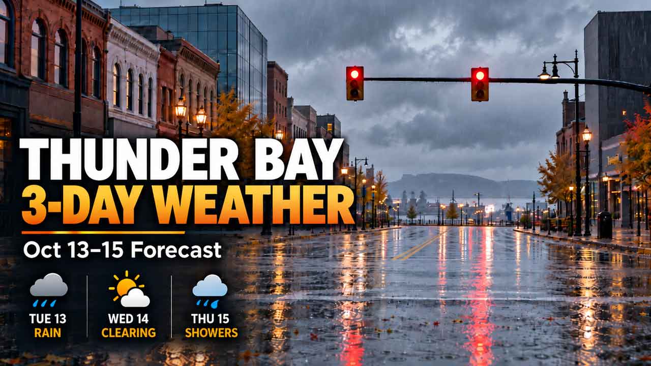
THUNDER BAY, ON – A wet and chilly morning on Tuesday will gradually improve over the next three days. Residents should prepare for rain and drizzle today, a milder but mostly cloudy Wednesday, and some unsettled weather returning on Thursday.
This morning’s forecast at 5:00am mentioned mist. While that might be true at the Airport, the Waterfront District is experiencing steady rain. So don’t forget your umbrella or raincoat today.
The main weather concern midweek will be the drop in temperatures below freezing on Wednesday night, followed by another chance of showers on Thursday. With daytime highs around 10°C to 12°C, it’s clear that autumn has taken hold along the north shore of Lake Superior.
Current Conditions: A Chilly and Wet Start
At 4:00 a. m. EDT, Environment Canada noted light rain at Thunder Bay Airport with a temperature of 4.7°C. A northeast wind added to the chill while high humidity reflected the dampness in the city.
Today’s Forecast: Rain and Drizzle Ending Around Noon
Tuesday kicks off with wet conditions as periods of rain mixed with drizzle are expected throughout the morning.
According to Environment Canada, more persistent rainfall should taper off around noon. However, clouds will linger over Thunder Bay with a 30 percent chance of additional showers or drizzle later in the afternoon.
The high for today is set to reach 10°C, slightly below this season’s average of 11°C.
The UV index is projected to be just 1, or low due to extensive cloud cover.
If you’re heading out for work or school this morning, waterproof outerwear will definitely come in handy given the wet pavement and cool air.
Tuesday Night
Cloudy skies will stick around into the evening with a 30 percent chance of more showers or drizzle. Expect overnight lows dropping down to about 4°C.
Looking Ahead: A Milder Day Before Frosty Nights
Wednesday brings some relief from earlier dampness marking this week’s start.
Environment Canada predicts cloudy skies with a daytime high reaching up to 12°C-making it the warmest day within this forecast period.
While widespread sunshine isn’t part of today’s official outlook, less precipitation means better chances for outdoor activities like walking or traveling around town.
Wednesday Night: Temperature Drops Below Freezing
The most notable temperature change hits Wednesday night as skies are expected to clear out and temperatures fall down to -1°C.
This dip creates potential frost conditions especially in open areas and low-lying spots.
If you have any sensitive plants outdoors you might want to protect them tonight. Also keep in mind that drivers parking outside may find frost on their windshields Thursday morning.
A Return To Cloudy Conditions With Possible Showers
Thursday signals a return to more unstable autumn weather patterns.
Environment Canada forecasts cloudy skies accompanied by a 40 percent chance of showers along with highs around 10°C for Thursday’s weather report.
The cooler temperatures combined with dampness could make outdoor plans less enjoyable-especially if you’re working outside for extended hours.
Thursday Night: Higher Chances Of Rain On The Horizon
The cloud cover is likely going to persist through Thursday evening as shower probabilities rise up to about 60 percent overnight.
Temperatures are expected to stay much milder compared to Wednesday night dipping only down to about 5°C.
If you’re planning any evening travel or outdoor events make sure you have your rain gear ready just in case!
- Tuesday:
- Wear a waterproof jacket along with closed-toe water-resistant shoes plus warm layers since an umbrella might help during those morning rains!
- Wednesday:
- A medium-weight autumn jacket layered over sweaters together comfy walking shoes should work well during daylight hours-but consider adding warmer layers when nighttime approaches since temps get closer towards freezing!
- Thursday:
- Keep handy either your raincoat-or maybe grab that compact umbrella! Layering clothing helps provide flexibility as temps inch toward that pleasant ten degrees Celsius mark!

During fall time period specifically; Lake Superior retains heat long after adjacent land locations begin cooling themselves thereby moderating nearby shoreline climates whereas further inland areas often experience colder nights.
Additionally; this lake contributes moisture into atmosphere aiding overall formation process producing clouds leading onto possible precipitation whenever colder air moves across those relatively warmer waters. This explains why various temperature readings differ between places like Thunder Bay’s waterfront area versus what one might see at its airport-compared against surrounding inland communities. Overall; upcoming three-day weathers reflect typical mid-October norms seen throughout Northwestern Ontario namely characterized by rainy mornings followed up cool afternoons paired together ever-rising possibilities concerning nighttime frosts arriving soon thereafter. Anticipated pattern includes Tuesday transitioning into lighter rainfall easing off gradually but then giving way unto best opportunities showcased within Wednesday itself allowing drier moments idealizing outdoors plans lastly closing Thursday back onto higher chances regarding future showers arriving again later onwards! Most notably expect sharp overnight chilliness coming upon us post-Wednesday night hitting lows sinking downward reaching approximately -1 degree Celsius mark-we recommend staying informed through updated forecasting regularly especially if planning travels utilizing Highways eleven seventeen likewise organizing activities sensitive tied directly associated involving both rainfall & frosty conditions!
Source link