



THUNDER BAY – Two new wildland fires have been reported in Northwestern Ontario, even as the total number of active fires in the area has decreased. The Ministry of Natural Resources confirmed two new fires by the evening of July 24.
THUNDER BAY – Two new wildland fires have been reported in Northwestern Ontario, even as the total number of active fires in the area has decreased.
The Ministry of Natural Resources confirmed two new fires by the evening of July 24.
Nipigon 83, found near the southwest side of Sim Lake about 23 kilometres northwest of Kagianagami Lake, spans five hectares and is currently not under control.
Nipigon 84, located on the shores of Lake Nipigon approximately 11.5 kilometres west of Beardmore, covers 0.2 hectares and is also not under control.
The Northwest Region now has 133 active wildland fires, a drop from 139 in the last update. Among these, 30 are not under control, five are being held back, six are under control and 92 are being monitored.
The record-breaking Thunder Bay 36 wildfire continues to be Ontario’s largest recorded wildland fire at an impressive size of 315,431 hectares following updated mapping.
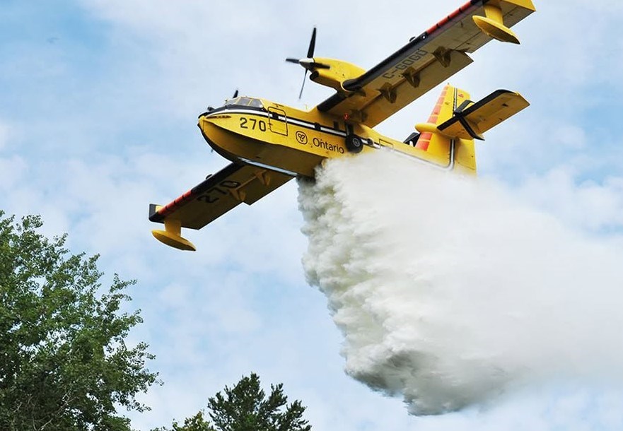
Crews remain busy working to put out hotspots along the perimeter of this fire, with helicopter bucketing operations aiding their efforts. Heavy equipment operators continue building fire guards while protective measures for values near infrastructure are ongoing.
The Atikokan cluster consists of Fort Frances 14, Fort Frances 15 and Fort Frances 38 and is still being monitored west of Lac des Mille Lacs.
Fort Frances 14 currently measures at 51,806 hectares and remains uncontrolled; Fort Frances 15 covers an area of 42,279 hectares and is also out of control. Additional firefighting teams from Ontario and Alberta have been deployed to tackle both incidents.
Crews are setting up hose lines while patrolling for any signs of fire activity and using infrared scanning flights to find hotspots.
Fort Frances 38, situated north of Crystal Lake, has been brought under control at a size of 44.2 hectares.
Near Cat Lake First Nation, Sioux Lookout’s wildfire number72 remains uncontrolled at a size of 23,597 hectares. Fire Ranger crews continue their suppression work with support from helicopters focusing on hotspots.
Hydro One has restored power to Cat Lake after replacing burnt poles along the hydro line.
The Brightsand cluster includes Dryden34, Dryden35, Thunder Bay54 and Thunder Bay56; there haven’t been significant changes to their perimeters over several days with minimal fire behavior noted.
Dryden36 near Upper and Lower Moosehide Lakes stays uncontrolled at a size measuring1 ,784 hectares.
Ontario Fire Rangers along with Alberta wildfire crews persist in their suppression efforts supported by helicopters and heavy machinery.
The MNR has issued new NOTAMs (Notice to Air Missions) implementing additional airspace restrictions over Thunder Bay36and Fort Frances14wildfires to assist ongoing firefighting efforts.
This setof restrictions adds to existing airspace limits already established around active forest fires. Accordingto federal aviation regulations , aircraftare restrictedfrom entering airspace within five nautical milesof anactive wildfireandup to3 ,000feet above groundlevelunless they’re involved infirefightingoperations. p >