




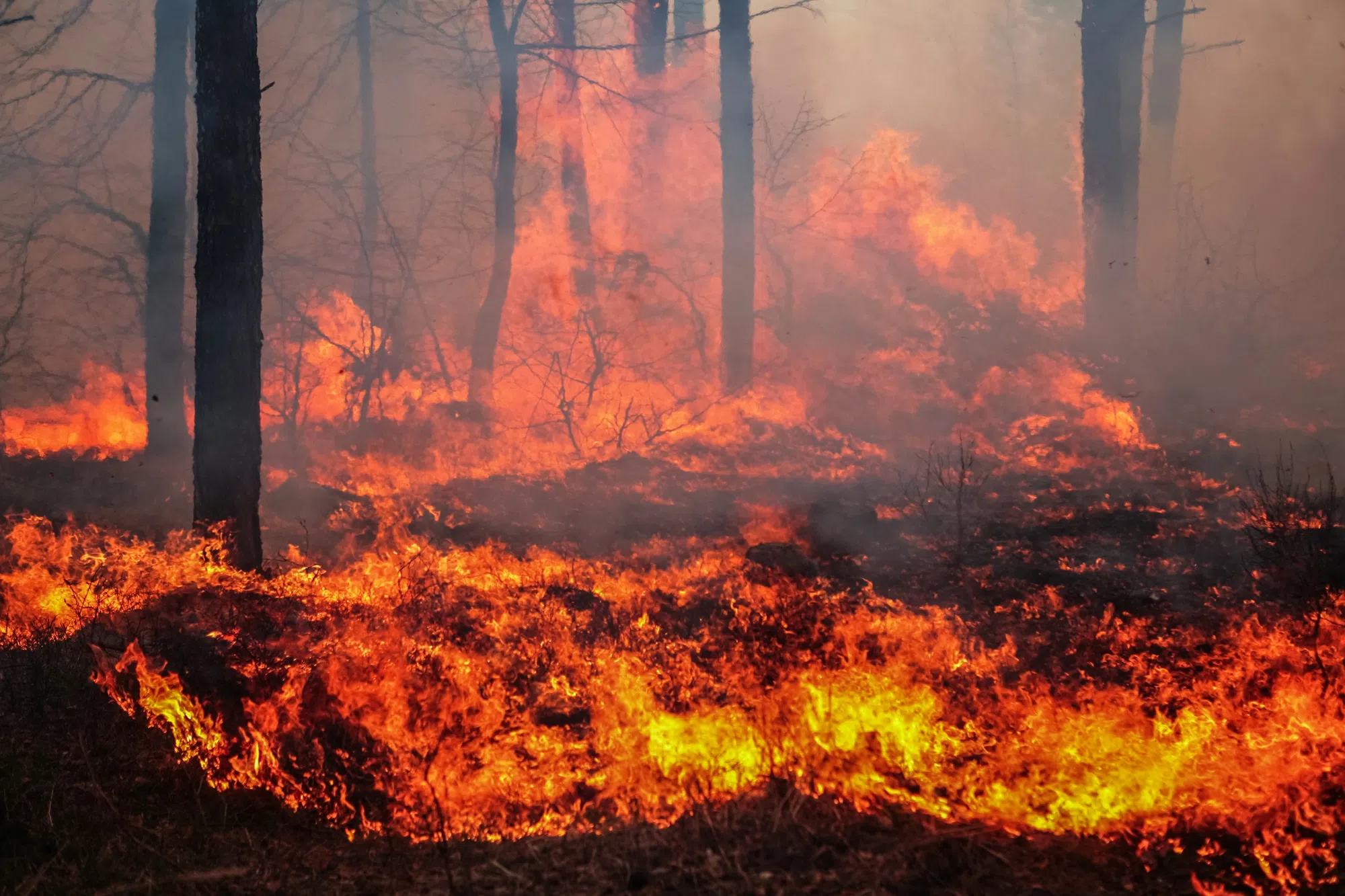
Friday evening saw new fires break out around Nipigon, Fort Frances, Sioux Lookout, and near Black Sturgeon Lake.
Here are the latest updates:
Nipigon 67 (NIP067) was confirmed on the evening of July 16, about 7 kilometres west of Crib Extension Road, southeast of Cavell Lake. This fire covers an area of 5.0 hectares and is not under control. Nipigon 68 (NIP068) was confirmed on the evening of July 16, north of Percy Lake. The fire is approximately 0.7 hectares and remains uncontrolled. Kenora 19 (KEN019) is located on an island in Black Sturgeon Lakes, east of Peterson Road. This fire has been recorded at 0.1 hectares. Fort Frances 40 (FOR040) can be found near Rocky Island Road and Hopkins Bay Islet Road. The size of this fire is also noted at 0.1 hectares. Fort Frances 41 (FOR041) lies north of Secret Lake, close to Sedgwick Lake Road. This fire measures about 0.1 hectares and is currently under control. Sioux Lookout 98 (SLK098) is situated near the northern end of Michikenis Lake. This fire spans an area of 110.0 hectares and is being monitored. Sioux Lookout 99 (SLK099) is approximately 4.5 kilometres north of Wharram Lake with a size of around 136.6 hectares; it’s also being observed.
Out of the total count of 131 wildland fires in the northwest region, there are currently 62 that are not controlled, while four are being held, five have been contained, and sixty are under observation.
For more information, click here:
Check out this graphic for tracking updates:
Sam Goldstein is a 2025 graduate of the Seneca Polytechnic journalism program. Sam’s great passions are for history, politics, and food. Born and raised in Toronto, he works as a multimedia journalist in Thunder Bay. You can reach him at goldsteins@radioabl. ca.
View all posts
Source link