



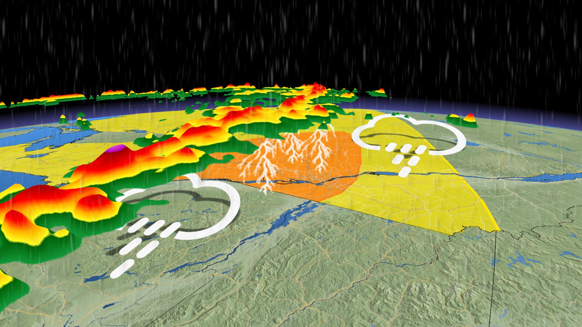
After a calm start to the week in southern and eastern Ontario, weather experts are tracking a strong system moving across the Great Lakes that could bring severe weather to eastern Ontario as it heads into Quebec on Thursday.
Be alert for severe weather alerts throughout Thursday, as the conditions will become more favorable for severe weather with the heat of the day.
SEE ALSO: This week’s Full Moon will produce a ‘nearly-total’ lunar eclipse in the sky
Source link
Severe Weather Expected in Eastern Ontario and Quebec on Thursday
The storm system is set to move into eastern Ontario on Thursday, eventually reaching Ottawa and central Quebec, including the Eastern Townships by afternoon to evening. The best chance for severe weather appears to be east of Montreal, where there should be plenty of moisture in the atmosphere, along with high wind shear and significant atmospheric spin. This could lead to brief supercell thunderstorms, increasing the risk of tornadoes. The atmosphere is likely to reach its most unstable point just before evening rush hour. That means people heading home from work may encounter strong thunderstorms that could affect travel times. Stay tuned to The Weather Network for ongoing updates and information about your forecast in Ontario.Source link