


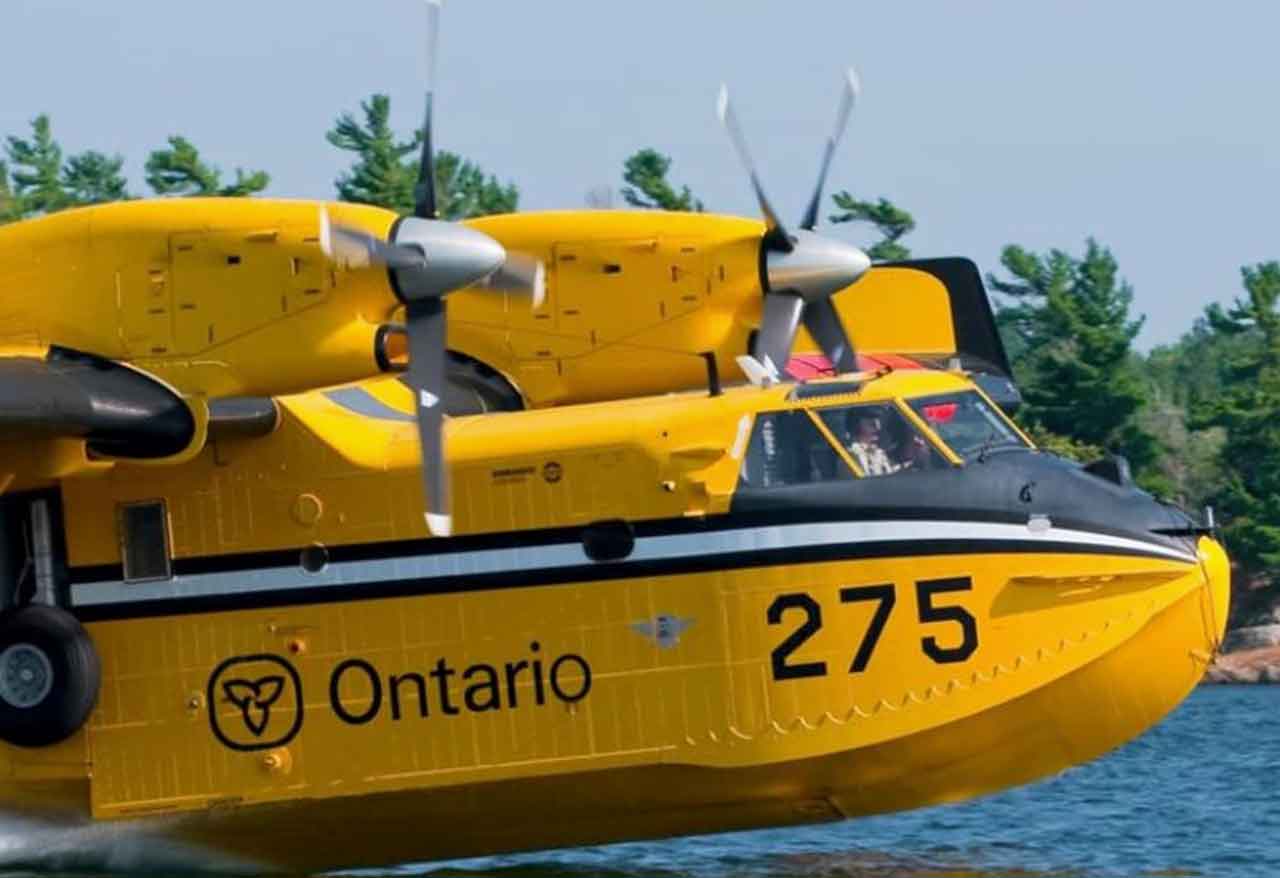
THUNDER BAY – As of the evening of Friday, Aug. 21, Ontario’s Aviation, Forest Fire and Emergency Services reports that there are currently 65 active wildland fires in the Northwest Fire Region, with two new fires confirmed today.
Fire activity is relatively low across several major incidents, including the Rinker Lake Complex and the Atikokan Cluster; however, some significant fires still remain out of control.
......
<text“ >Ontario’s interactive map shows real-time ratings for wildland fire danger based on over130weather stations across various regions. >“ “ “ `
Residents including campers anglers hunters will find it useful checking current hazards before venturing into forested or remote locations.
Two New Wildfires Identified
By Friday evening, two new fires were confirmed in the Northwest Region. Thunder Bay 85 (THU085) is situated southwest of Mc Gaughey Lake, about 12 kilometres west of Highway 527. This fire is estimated to cover an area of 0.1 hectares and is being held. Kenora 33 (KEN033) can be found near Puzzle Bay on Ord Lake, roughly 17 kilometres east of Highway 105. It is also estimated at 0.1 hectares and is currently under control. According to the update at 6 p. m. CDT, the status of the 65 active fires across the region is classified as follows: Five not under control; Five being held; 12 under control; and 43 being observed.Low Activity in Rinker Lake Complex
Wildfire activity remains low within the Rinker Lake Complex. There are a total of 29 Fire Ranger crews assigned to this complex, with personnel coming from Ontario, Alberta, Manitoba, Nova Scotia and Mexico. Fourteen helicopters are dedicated to ongoing operations. Crews have shifted focus between detecting hotspots and suppression efforts while also demobilizing equipment that’s no longer needed. The main fires within this complex include: Thunder Bay 36 (THU036): covering an area of 301,240 hectares and not under control; Dryden 34 (DRY034): covering an area of 45,800 hectares and not under control; and Dryden 35 (DRY035): covering an area of 30,088 hectares and not under control. These three fires together span more than 377,000 hectares.Atikokan Cluster Shows Low Fire Activity
Similarly low fire activity has been noted recently in the Atikokan Cluster. Firefighters continue working on extinguishing hotspots identified through recent infrared scans. Currently assigned to this complex are a total of 124 personnel which includes 83 firefighters from both Ontario and Mexico along with flight crews for eight helicopters, overhead staff, support teams and an Incident Management Team. The current status for these fires is as follows: Fort Frances 13 (FOR013): covering an area of 25,476 hectares and being observed; Fort Frances 14 (FOR014): covering an area of 51,768 hectares but not under control; Fort Frances 15 (FOR015): covering an area of42,273 hectares but not under control.Information on Evacuations and Orders
Residents as well as travelers should stay informed about current Evacuation Orders, Implementation Orders and Evacuation Alerts before entering areas impacted by wildfire activities. Conditions can change rapidly so local restrictions may still be enforced even if broader regional ones have been lifted.NOTAM Active Around Thunder Bay 36
A Notice to Airmen or NOTAM remains active around Thunder Bay fire number THU036. This restriction adds to standard airspace regulations outlined in section601.15of Canadian Aviation Regulations. Airspace surrounding active forest fires is restricted for wildfire suppression aircraft only within five nautical miles from the fire site up to altitudes reaching up to3000feet above ground level. Pilots should ensure they check NAV CANADA’s flight-planning information regarding current wildfire NOTAMs prior to flying.......
Ongoing Airspace Restrictions Near Fort Frances
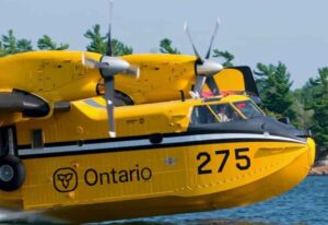
<text>A separate NOTAM continues to be effective for Fort Frances fire number FOR014 located northeast from Byers Lake.<text=””>Unauthorized aircraft may disrupt operations involving helicopters along with water bombers executing firefighting missions.<text=””>Pilots must confirm all existing restrictions before flying into areas affected by wildfires.<|text=””>The hazard posed by wildland fire varies throughout Northwestern Ontario.<text“ >Ontario’s interactive map shows real-time ratings for wildland fire danger based on over130weather stations across various regions. >“ “ “ `
Residents including campers anglers hunters will find it useful checking current hazards before venturing into forested or remote locations.