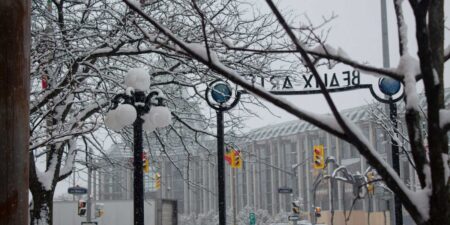
A major winter storm is on track to hit Southern Ontario on Wednesday, bringing a troublesome mix of freezing rain, ice pellets, and heavy snow.
This event will present various challenges depending on where you are. Some areas will experience long hours of freezing rain with dangerous ice accumulation, while others might face bursts of heavy snow along with ice pellets.
Although the type of precipitation will differ significantly from place to place, one common factor is the timing. The storm is expected to reach its peak during both morning and afternoon rush hours. This will likely lead to significant travel disruptions across highways, city streets, and rural roads.
The primary concern with this system seems to be the area experiencing substantial freezing rain south and west of the Greater Toronto Area. This includes Hamilton through Kitchener and Guelph, as well as Perth, Wellington, Dufferin, Grey, and Bruce counties. These locations are at high risk for extended icing conditions.
With six to twelve hours of freezing rain starting early in the morning and lasting into late afternoon, untreated roads, sidewalks, driveways, trees, and power lines could see rapid ice buildup. In certain areas, total ice accumulation might reach 10 to 15 mm. That’s enough to create hazardous travel situations and start causing issues with infrastructure.
Adding to the problem are wind gusts expected between 40 and 60 km/h; some regions may even experience gusts reaching 70 to 80 km/h during the morning and afternoon. When strong winds combine with heavy ice build-up, there’s a heightened risk of power outages. Ice-laden branches and power lines can snap easily under extra pressure leading to scattered or widespread outages in severely impacted areas.
Unlike other freezing rain events that see temperatures rising above zero which helps melt some ice away, this system won’t have any significant warming trend. Cold air at ground level is likely stuck around until at least Thursday-and possibly Friday-so once surfaces get icy they may remain that way for quite some time. This could extend power outages and keep travel conditions poor well past Wednesday.
Freezing drizzle may also hang around into late Wednesday and early Thursday in parts of Southwestern Ontario and the Golden Horseshoe region. Even light drizzle can create an additional layer over existing ice making conditions worse while raising the chances for slips falls or vehicle accidents.
Northern areas from Lake Simcoe through Toronto down towards Peterborough and Kingston are looking at more sleet mixed with snow instead. Snowfall totals aren’t expected to be extreme-generally between 5 to 15 cm-but added sleet along with occasional freezing rain will still lead to slick road conditions that could be dangerous.
Source link
Source link


